

GPS began as a military navigation system during the Cold War and later became a widely used global technology. Important milestones include the Transit system (1960), Navstar GPS (1973), and the removal of Selective Availability (2000), which allowed civilians to use precise GPS.
Today, GPS is improving with advanced satellites, AI-driven systems, and quantum navigation for better accuracy and reliability. These upgrades will enhance self-driving vehicles, emergency services, and space travel in the future.
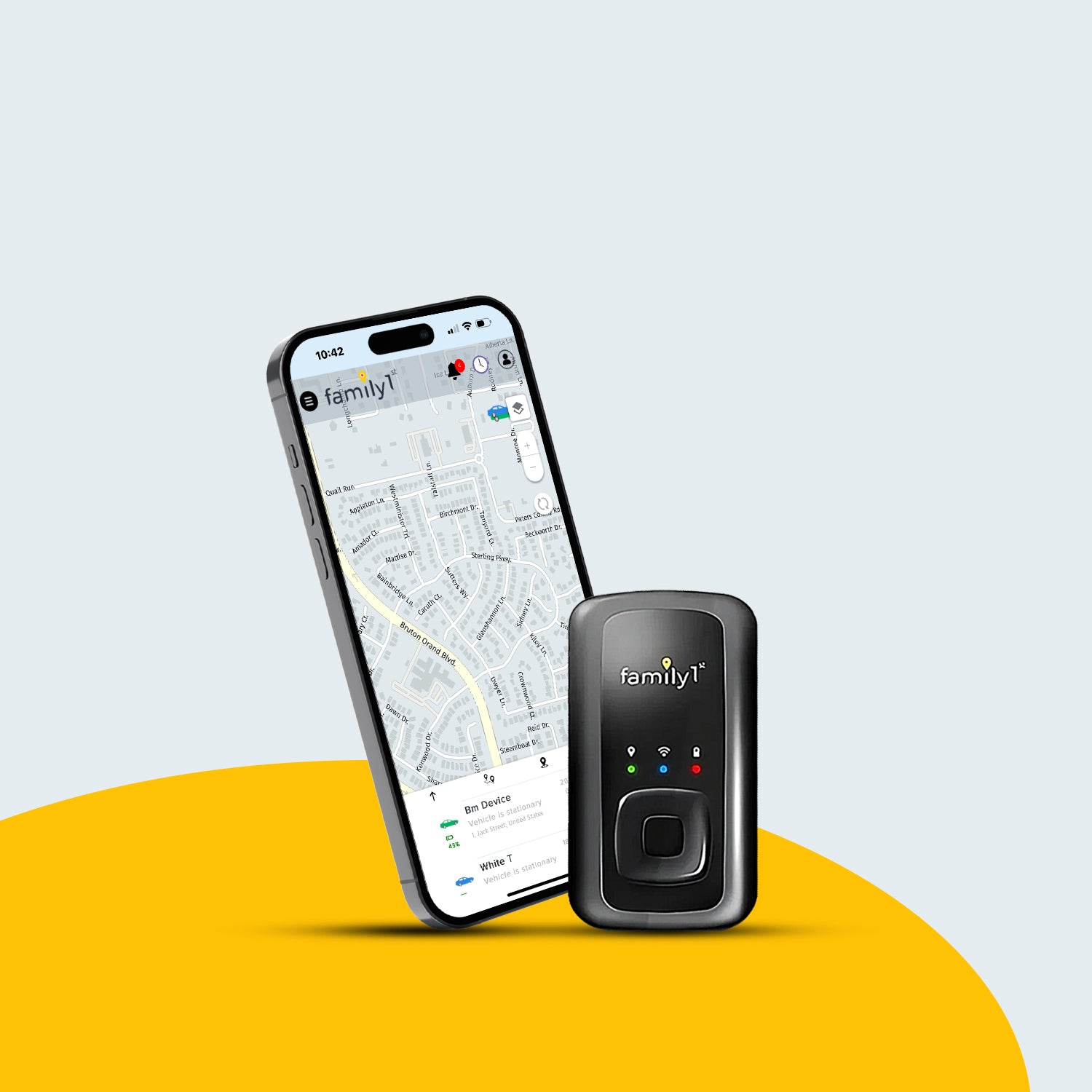
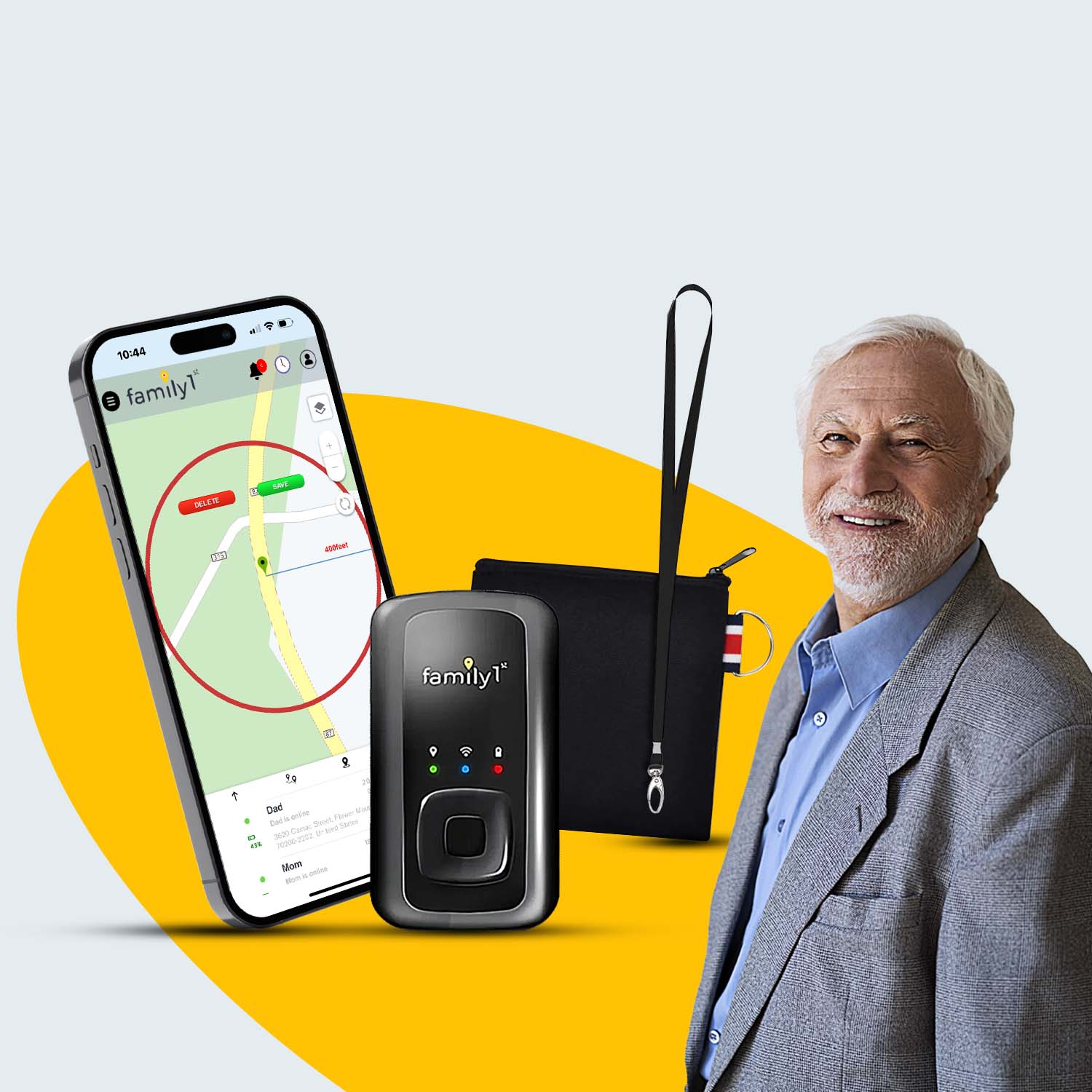
What Is a GPS Tracker and How Does It Work?
A GPS tracker is a device that finds the location of a person, vehicle, or object using satellites. It sends this location data to a system that lets users track movement in real time.
It works by connecting to satellites to get exact coordinates and then sending the information through networks like Wi-Fi or mobile signals. Users can check the location on a phone, computer, or tracking system.
When Did GPS Come Out?
GPS was developed during the Cold War for military navigation. The idea came after the launch of Sputnik 1 in 1957, when scientists realized they could track objects using radio signals.
The Transit System (1960)
The U.S. Navy created the Transit system in 1960 for submarine navigation. It used satellite signals but was slow and had limited coverage.
Timation and 621B Programs (1967)
In 1967, the Timation program introduced atomic clocks for more accurate navigation. At the same time, the 621B program worked on a system using multiple satellites for better positioning.
Complete History of GPS
Birth of GPS – Development in the 1970s
The modern GPS system was officially developed in 1973 by the U.S. Department of Defense (DoD). The Navstar GPS program was introduced to provide real-time global positioning for military operations.
Key Features of Navstar GPS
-
Used a constellation of 24 satellites in Medium Earth Orbit (MEO).
-
Included atomic clocks for highly accurate timing.
-
Provided global coverage with real-time positioning.
The First GPS Satellites
The first experimental GPS satellite, Navstar 1, was launched in 1978. Additional satellites were sent into orbit over the next few years to improve the system. By the early 1980s, GPS was operational for military use, but civilian access remained restricted.
Expansion and Civilian Use (1980s–1990s)
During the 1980s, GPS technology improved significantly, and interest in civilian applications grew.
Challenger Disaster and Civilian GPS Access (1983)
In 1983, the Soviet Union shot down Korean Air Flight 007, killing all passengers. Following this, President Ronald Reagan announced that GPS would be made available for civilian use once it became fully operational.
Gulf War and Military Advancements (1990–1991)
The Gulf War showcased GPS's critical role in modern warfare. U.S. forces relied on GPS for precision bombing, navigation, and troop coordination. The system’s success in combat led to increased investments in its expansion.
Full Operational Capability (1995)
By 1995, GPS reached Full Operational Capability (FOC) with 24 satellites in orbit. It provided global coverage, serving both military and civilian users with some restrictions on accuracy.
Selective Availability and Its Removal (2000)
What Was Selective Availability?
The U.S. intentionally reduced civilian GPS accuracy through Selective Availability (SA) to maintain military advantages. Civilian accuracy was limited to 100 meters, while military users had precision within a few meters.
Removal of Selective Availability (May 1, 2000)
In 2000, President Bill Clinton ordered the removal of SA, allowing civilian users to access high-precision GPS signals. This decision transformed industries such as navigation, agriculture, and logistics, making GPS an essential tool for daily life worldwide.
Modern GPS – Evolution and Advancements
Since 2000, GPS has continued to evolve, integrating new technology and competing with other global navigation systems.
GPS III Satellites (2018–Present)
The GPS III program, launched in 2018, introduced satellites with:
-
Higher accuracy and reliability.
-
Stronger signals with better resistance to interference.
-
Longer lifespans for sustained operations.
Global Navigation Satellite Systems (GNSS)
GPS is now part of a larger Global Navigation Satellite System (GNSS) network. Other major GNSS systems include:
-
GLONASS (Russia)
-
Galileo (Europe)
-
BeiDou (China)
GPS in Everyday Life
GPS is now an essential technology used in:
-
Smartphones, vehicles, and wearable devices for navigation.
-
Transportation (ride-hailing apps, aviation, fleet tracking).
-
Agriculture (precision farming and automated machinery).
-
Emergency services (search and rescue, disaster management).
Future of GPS – What’s Next?
Next-Generation GPS (GPS IV)
The future of GPS will bring higher accuracy, stronger reliability, and improved security. Upcoming satellites will include better anti-jamming features, making signals more resistant to interference.
AI and GPS Integration
Artificial intelligence (AI) is helping improve GPS accuracy, especially in self-driving cars and smart navigation systems. AI-powered GPS can predict traffic patterns, suggest better routes, and enhance real-time navigation.
Quantum-Based Navigation
Scientists are working on quantum-based positioning systems that could replace satellite-based GPS in the future. These systems would provide precise navigation without relying on satellites, making them useful in areas where GPS signals are weak or blocked.
What’s Ahead?
With these advancements, GPS will become faster, smarter, and more reliable for everyday use. From self-driving cars to space exploration, the next phase of GPS technology will change how we navigate the world.


